



About OxfordAQA International AS Geography
OxfordAQA International AS Geography is specification 9635. This page works from the current specification, which covers International AS exams from May/June 2019 onwards.
The qualification is modular, and the International AS is made of two units.
Unit 1 is Physical geography 1. Unit 2 is Human geography 1.
Both are written exams of 1 hour 30 minutes. Each unit is 50 per cent of the International AS assessment.
Both papers divide into two sections of 40 marks each. Section A is answer all questions, and Section B is answer all questions.
There are three further units at A-level. Unit 3 is Physical geography 2, covering water carbon and life on Earth and ecosystems under stress. Unit 4 is Human geography 2, covering changing places and people and contemporary urban environments. Unit 5 is Fieldwork and geographical skills. None of those three is part of this qualification.
The most important structural feature of Unit 1 is that it contains a choice, and the choice is made by the school before teaching begins.
Unit 1 Section A is Living with hazards, and it is compulsory.
Unit 1 Section B is either Hot desert systems and landscapes or Coastal systems and landscapes. Students study one of the two.
So every geography AS student studies hazards, and then either deserts or coasts. A student who has been taught deserts can answer on deserts, and a student who has been taught coasts can answer on coasts, but neither can answer on both.
Unit 2 has no choice. Section A is Global systems and governance and Section B is Resource security.
The hazards content is specific and it names its models, which is worth knowing because models are easy to under-revise.
The concept of hazard in a geographical context covers the nature, forms and potential impacts of natural hazards, both geophysical, atmospheric and hydrological, and hazard perception with its economic and cultural determinants.
It covers characteristic human responses, named as fatalism, prediction, adjustment or adaptation, mitigation, management and risk sharing, and their relationship to hazard incidence, intensity, magnitude, distribution and level of development.
It names the Park model of human response to hazards, and the hazard management cycle. Those two are frequently examined and frequently half-learned.
Plate tectonics covers earth structure and internal energy sources, and the plate tectonic theory of crustal evolution, including plate movement, gravitational sliding, ridge push, slab pull, convection currents and seafloor spreading.
It covers destructive, constructive and conservative plate margins, with the characteristic processes of seismicity and vulcanicity, and the associated landforms of young fold mountains, rift valleys, ocean ridges, deep sea trenches, island arcs and volcanoes.
Volcanic hazards cover the nature of vulcanicity and its relation to plate tectonics, and the forms of volcanic hazard are named: nuees ardentes, lava flows, mudflows, pyroclastic and ash fallout, gases and acid rain, and tephra.
The impacts are split into primary and secondary, environmental, social, economic and political, and the responses are split into short and long term, covering risk management designed to reduce impacts through preparedness, mitigation, prevention and adaptation.
The specification also requires impacts and human responses as evidenced by a recent volcanic event, so a named case study is part of the content rather than an optional illustration.
Seismic hazards cover the nature of seismicity and its relation to plate tectonics, and the forms of hazard are named: earthquakes, shockwaves, tsunamis, liquefaction and landslides.
The hot desert and coastal options each carry their own systems and landscapes content, which is why the choice matters so much. A school that has taught one has not taught the other, and the exam will ask about whichever the school entered students for.
The human geography content of Unit 2 opens with globalisation. The dimensions named are flows of capital, labour, products, services and information, global marketing, and patterns of production, distribution and consumption.
The factors in globalisation are the development of technologies, systems and relationships, including financial, transport, security, communications, management and information systems, and trade agreements.
Global systems covers the form and nature of economic, political, social and environmental interdependence in the contemporary world.
It then addresses the issues associated with interdependence, including how unequal flows of people, money, ideas and technology can sometimes promote stability, growth and development but can also cause inequalities, conflicts and injustices for people and places.
That sentence is the analytical heart of the unit, and it is a good model for how a strong answer is built. Both sides of the flow are named, not just the positive one.
There are three assessment objectives, and the third one is not what students expect.
AO1 is demonstrating knowledge and understanding of places, environments, concepts, processes, interactions and change, at a variety of scales.
AO2 is applying knowledge and understanding in different contexts to interpret, analyse and evaluate geographical information and issues.
AO3 is using a variety of relevant quantitative, qualitative and fieldwork skills to investigate geographical questions and issues, to interpret analyse and evaluate data and evidence, and to construct arguments and draw conclusions.
So AO3 is a skills objective rather than an evaluation objective. It is about handling data, using fieldwork, and building an argument from evidence.
At International AS the weightings are AO1 at 47.5 per cent, AO2 at 37.5 per cent and AO3 at 15 per cent.
Both units carry the same split, at 23.75 per cent for AO1, 18.75 per cent for AO2 and 7.5 per cent for AO3.
Knowledge and understanding is therefore very nearly half the qualification, and the skills objective is the smallest at 15 per cent.
That has a direct practical meaning. A student who knows the content and can apply it will earn 85 per cent of the marks available before the skills questions are reached. The fieldwork and data handling matter, but they are not where the bulk of this qualification sits.
The weightings shift at A-level, where AO1 falls to 43 per cent and AO3 rises to 21 per cent, so the skills component grows as the course goes on.
Exams are available in January and in May/June, so there are two opportunities in the same academic year. Candidates may re-sit a unit any number of times within the shelf-life of the specification, and the best result for each unit will count towards the final qualification.
The International AS qualification is graded on a five point scale: A, B, C, D and E.
Who OxfordAQA International AS Geography 9635 Is For
This course suits Year 12 students sitting OxfordAQA International AS Geography 9635 who can describe a hazard but cannot use the Park model, or who have not built the named case study the specification asks for.
- Year 12 students taking Units 1 and 2 as a standalone AS qualification
- Students carrying the units forward into the full A Level
- Students whose school has chosen deserts or coasts for Unit 1
- Students who have not learned the hazard models by name
- Students aiming at geography, environmental science or planning

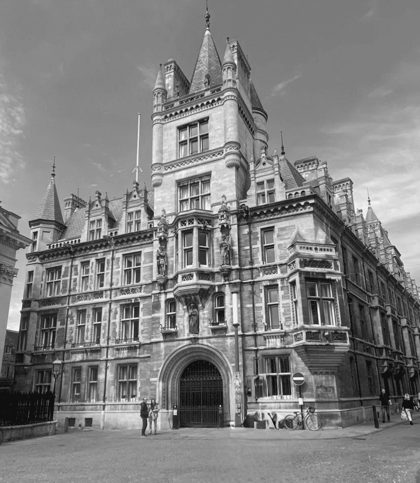

OxfordAQA International AS Geography: The Board We Cover
OxfordAQA is the board this page covers. Every fact here comes from OxfordAQA's own 9635 specification.
OxfordAQA
OxfordAQA International AS Geography is syllabus 9635, two modular units with two sections of 40 marks each, examined in January and in May/June.

How Centaurus Helps OxfordAQA International AS Geography Students Excel
The Unit 1 Choice
Hot deserts or coasts taught as the option the school entered, with its own systems content.
Hazard Models
The Park model and the hazard management cycle taught by name, because they are examinable content.
Named Case Studies
A recent volcanic event required by the specification, prepared as content rather than illustration.
Flows Both Ways
Globalisation taught as both opportunity and inequality, matching the specification's own framing.
Skills Objective
Quantitative, qualitative and fieldwork skills taught as AO3, which is worth 15 per cent.
24/7 Progress Reporting
Families get access to the Centaurus Academy LMS, with attendance, progress and lesson notes available to parents, students and teachers at any time.






Why Centaurus Stands Out
Choosing the right OxfordAQA International AS Geography support makes a real difference. Here is how Centaurus Academy compares with typical online providers.

Meet our Team Of Experts
Our expert tutors bring deep subject knowledge and a passion for teaching — helping every student reach their full potential.


What Parents Say About Us

Hear from the parents and students who have experienced our personalised teaching first-hand.
Excellent long-term experience
We have an excellent long-term experience with the academy and Sir Awais. Our three children studied with them during different periods and succeeded well. We highly recommend the academy.
Excellent academy
Centaurus Academy is truly one of the best educational institutions I've come across. The environment is nurturing, the staff are incredibly dedicated, and the quality of education is outstanding. They focus not only on academic excellence but also on character building and personal growth. The teachers are supportive and go the extra mile to ensure every student feels confident and motivated.
My child has gained confidence
I'm very satisfied with the dedication and teaching approach. My child has gained confidence and improved significantly in understanding math concepts, thanks to the teacher's clear explanations and supportive guidance.



OxfordAQA International AS Geography: Frequently Asked Questions
Explore Tutoring by Country:
Pick your country to see the boards, levels, and subjects our tutors cover near you.






Step Into Your Success
Book a demo lesson today and see how one-on-one tutoring can help your child reach their goals.